By Toby Pillatt and William A. P. Smith
This Plain Language Summary is published in advance of the paper discussed. Please check back soon for a link to the full paper.
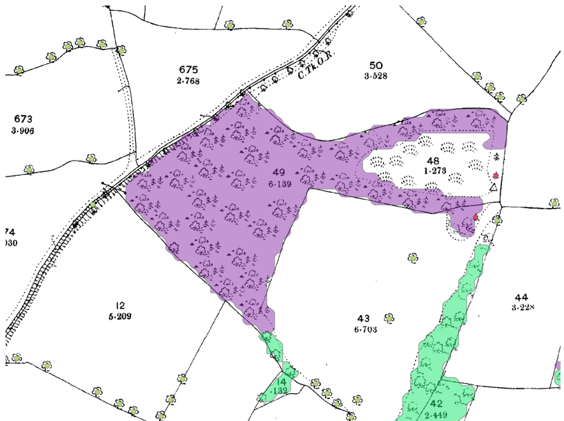
In the 19th century, British mapmakers did something extraordinary: they marked individual trees—millions of them—on Ordnance Survey maps. These painstakingly detailed maps offer a rare glimpse into the treescape of Victorian Britain. But unlocking this rich historical data has long required manual effort because researchers needed to identify and geolocate each tiny tree symbol by hand.
This paper introduces a game-changing solution: a new computer vision method called You Only Look for a Symbol Once (YOLSO). YOLSO automatically detects tree symbols and wooded areas on historic maps, allowing researchers to analyse tree distribution across entire cities and landscapes in mere seconds. Digitising old maps is only part of the puzzle, however. We also need to understand the original surveyors’ methods and intentions. Archival research reveals that the Ordnance Survey aimed to plot all large, conspicuous trees—unless those symbols would clutter the map. This means the maps underrepresent reality, especially in dense urban areas. By comparing the old maps with more detailed town plans and 19th-century photographs, we estimate that for every tree symbol shown, there may have been over 3 actual trees in the landscape.
The study tested YOLSO on historic maps of York, Cardiff, and Milton Keynes, creating digital datasets that revealed interesting patterns—like how trees tended to cluster near villages and farms, but were often absent from industrial urban cores. These insights could help us understand how past tree planting shaped today’s environments, and therefore guide tree planting for the future.
Ultimately, this work envisions a National Historic Tree Map of Great Britain—a digital time machine that opens a new window onto how our green spaces have changed over the past 150 years.
