By Brian Robinson, Yiyi Zhang, Hugo Thierry, Lara Cornejo, Lael Parrott, Monique Poulin, Kate Sherren, and Danika Van Proodsij.
This Plain Language summary is published in advance of the paper discussed; check back soon for a link to the full paper.
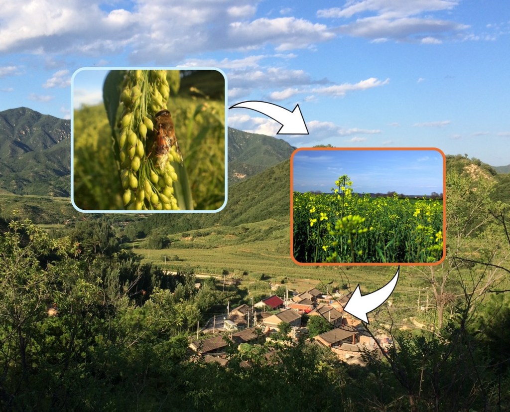
People benefit from landscapes or seascapes in different ways. Some rely on fish or crops for their income, others indirectly rely on landscape features such as wetlands and forests that reduce flooding or flood damage. These various benefits nature provides are known as ecosystem services. Especially in the context of climate change, identifying the part of the land or coast from which specific communities benefit helps illuminate the value and importance of these areas to people. Quantitative tools that highlight biophysically important areas of the landscape exist, but lack ways to link these areas to communities through maps and indicators. We develop a process to visualize the relationships between natural resources and communities that benefit from these resources by mapping “servicesheds” – areas of the landscape that provides specific resources to a specific group of people. We map servicesheds for four types of landscape/seascape areas associated with four specific groups of people: farmers benefiting from farmland, farmers benefiting from pollination, fishermen benefiting from fishing grounds, and flood-prone communities benefiting from saltmarshes.
We find in Quebec’s agricultural Montérégie region, 85% of the communities benefit from farmland for different production activities, while in coastal areas in Nova Scotia 24% of the communities benefit from fish habitats for nearshore fisheries. For resource areas from which communities indirectly benefit, we find 26% of saltmarshes in Nova Scotia and 66% of natural vegetation in Monteregie can help communities reduce flood damage and improve crop yield. Importantly, our methods allow us to map the spatial areas upon which each community depends to help decision makers plan conservation and development priorities. The difference in the amount of farmland each community shares or has access to allows us to identify priority areas for management changes that improve landscape quality. We also identify fishing areas with more communities involved to guide energy development and marine conservation. Our methods and results can be used to help environmental agencies restore and protect saltmarshes and pollinator habitats to achieve conservation goals while avoiding unintended losses communities may face.
